Search for how deep the ocean gets and you’ll see a confident answer: about 11 kilometres, or roughly 36,000 feet. Check a second source and the figure shifts. Check a third and it moves again.
That isn’t careless reporting. It reflects where the science really stands. The Challenger Deep depth has been measured with sonar, crewed submarines and pressure sensors, and the results still don’t line up perfectly.
The gap is small next to the total distance, but it matters. It shows how hard precise measurement becomes in a place that is pitch dark, near freezing and crushed by enormous pressure. In this guide, you’ll learn how scientists measure the deepest point on Earth, why their numbers still differ, and how the same habits of careful thinking help anyone who works with data, from students to freelancers and analysts.
What Is the Challenger Deep Depth Puzzle?

The Challenger Deep is a small, slot-shaped valley at the southern end of the Mariana Trench in the western Pacific Ocean. The trench is crescent-shaped, about 2,550 km (1,580 miles) long and 69 km wide. It formed where one tectonic plate is forced beneath another. Wikipediabritannica
The most precise figure so far comes from a 2021 study: 10,935 metres (35,876 feet), give or take 6 metres at a 95% confidence level. For scale, that puts the bottom more than 2 km farther from sea level than the summit of Mount Everest. WikipediaWikipedia
So where is the puzzle? Published measurements have ranged from roughly 10,900 to 11,034 metres. The Challenger Deep depth isn’t a missing fact. It’s a measurement problem. The water above is about 11 km deep, and every method carries its own errors. The target is also narrow: the lowest 25 metres above the seafloor is less than 1 km wide, so a sonar beam or a lander can easily miss the true lowest spot. nausicaaarxiv
Finally, “depth” means distance below mean sea level, and the sea surface is not perfectly uniform. That’s why researchers publish estimates with error margins instead of one final number.
Step-by-Step Guide: How Scientists Measure the Deepest Point
Measuring the bottom of the ocean works like building a legal case. No single witness is enough, so researchers combine several kinds of evidence. Here are the six steps, why each one matters, and where things go wrong.
Step 1: Map the Seafloor With Multibeam Sonar

What to do: Scan the trench from a research ship.
How: The ship sends out a fan of sound pulses and times the echoes. Repeated passes build a 3D map that reveals candidate low points.
Why it matters: You can’t dive everywhere, so mapping tells you where to look.
Example: In 2010, NOAA sonar work pointed to about 10,994 metres. A team using Japanese survey cruises from the early 2000s calculated 10,920 ± 5 metres in the eastern basin, while a 2014 study of 2010 data reported 10,984 ± 25 metres in the western basin. Different basins and different methods gave different answers. livesciencesciencedirect
Step 2: Measure How Fast Sound Travels Through the Water

What to do: Lower a sensor package that records conductivity, temperature and pressure.
How: Sound speed changes with temperature, salinity and pressure, so the sensors log all three on the way down.
Why it matters: An echo only gives travel time. Convert it with the wrong sound speed and every metre of depth is off.
Example: Researchers have argued that part of the gap between acoustic results comes from how each team estimated the sound-speed profile. It’s like two accountants using different exchange rates on the same invoice. noaa
Step 3: Convert Echo Time Into Depth

What to do: Combine the echo time with the sound-speed profile.
How: Depth is roughly the average sound speed multiplied by half the round-trip time, adjusted for the ship’s position and water level.
Why it matters: This is where small errors multiply. Over nearly 11 km, a 0.5% error becomes about 55 metres.
Example: One team used the shockwave from an imploding instrument as a one-off sound source. The reflections, plus a measured sound-speed profile, gave an estimate of 10,983 ± 6 metres. It’s a clever independent check, yet it still sits apart from the pressure-based results. tos
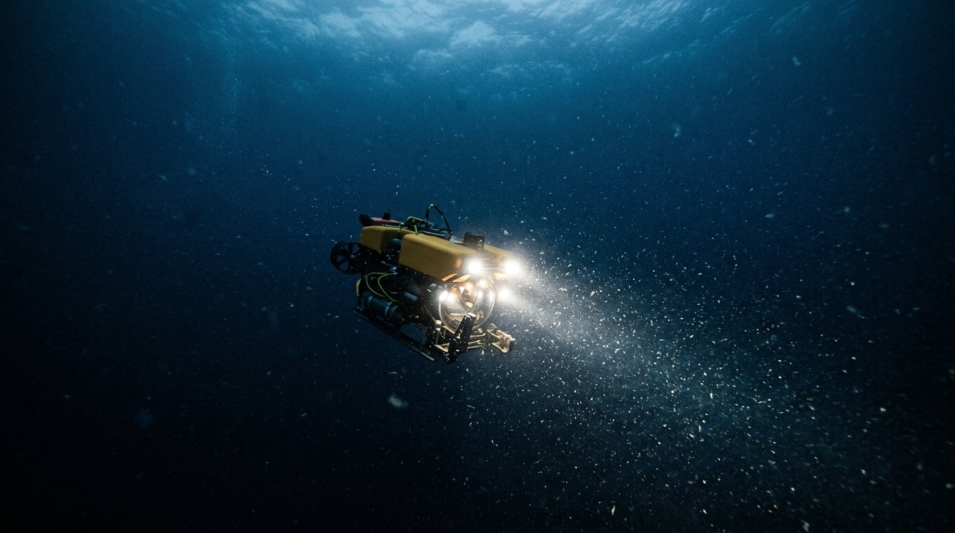
Step 4: Check With Pressure Sensors on Submersibles and Landers

What to do: Send instruments to the bottom.
How: Crewed submarines and robotic landers measure water pressure on the way down. Pressure rises predictably with depth, so a sensitive gauge can be converted into a pressure-based Challenger Deep depth that doesn’t rely on sound speed.
Why it matters: It’s a second, independent line of evidence.
Example: The Trieste bathyscaphe reached about 10,911 metres in January 1960. Deepsea Challenger later recorded 10,908 ± 3 metres. The 2021 study used six submersible transects, with altimeters referenced to pressure, to reach 10,935 metres. Project Nekton +3
Step 5: Correct for Gravity, Temperature, Salinity and Water Level
What to do: Adjust the raw readings.
How: Pressure isn’t depth. Converting one to the other depends on water density and local gravity, which varies slightly around the planet. The 2021 study found gravity corrections were nearly half the size of the temperature-and-salinity effects. sciencedirect
Why it matters: Skip a correction and you bake in a systematic error.
Example: The Trieste’s gauge was originally calibrated in fresh water, and corrections for salinity, temperature and gravity were applied afterwards. That’s why old records need context. researchgate
Step 6: Report the Uncertainty and Compare
What to do: State the answer as a range, not a single number.
How: Combine every known error source into a confidence interval. In the 2021 peer-reviewed study of the Challenger Deep, the ±6 metres is dominated by uncertainty in the pressure sensor. sciencedirect
Why it matters: Ranges show whether two results truly disagree.
Example: A multibeam survey reported 10,924 ± 15 metres. Its range (10,909 to 10,939 m) overlaps the 2021 result (10,929 to 10,941 m), so the two don’t necessarily conflict. The survey’s authors also said neither ship-mounted sonar nor current pressure sensors are accurate enough to prove which spot is truly deepest. For anyone weighing the Challenger Deep depth debate, overlapping ranges are the real takeaway: the answer is “about 10.93 km,” not “unknowable.” wileywiley
Common Mistakes to Avoid
Depth figures get repeated online without context. Watch for these errors.
- Treating one Challenger Deep depth as settled fact. Quote a range and a date instead: “about 10.9 km (35,800 ft), per a 2021 study.”
- Ignoring the ± value. A 6-metre margin and a 15-metre margin tell very different stories, so always include it.
- Confusing the trench with the deep. The Mariana Trench is about 2,550 km long. The Challenger Deep is one small valley inside it. The Sirena Deep, roughly 200 km east, is reported at about 10,809 metres. livescience
- Trusting old records without context. The Trieste’s 1960 depth had no reported uncertainty, and researchers couldn’t locate its original pressure instrument. Treat historic values as milestones, not modern benchmarks. sciencedirect
- Assuming “explored” means “mapped.” Only 28.7% of the ocean floor has been mapped as of 2026. Always check whether a number is measured or estimated. seabed2030
Useful Tips

Whether you’re a student, writer, freelancer or remote analyst, these habits are easy to adopt:
- Add the year and method. When you cite the Challenger Deep depth, say who measured it and how.
- Check units and reference levels. Confirm metres versus feet, and depth below mean sea level, before comparing any two Challenger Deep depth figures.
- Round sensibly. “About 11 km” or “roughly 36,000 feet” works in headlines. Precise numbers need error bars.
- Seek independent confirmation. A figure confirmed by two different methods deserves more trust than one confirmed twice by the same method. The same goes for website traffic: if two analytics tools differ by a few percent, say so in your report.
- Use open data. All data shared with the Seabed 2030 project goes into the free, public GEBCO global grid. seabed2030
If you enjoy stories where the evidence is still being debated, browse our collection of unsolved mysteries from science and history.
Frequently Asked Questions
What is the most accurate Challenger Deep depth today?
The 2021 pressure-based study gives 10,935 metres (35,876 feet), ±6 metres, and its authors call it the most accurate and precise estimate so far. Other credible estimates sit within roughly 100 metres, so “about 10.9 km” is the safest summary. sciencedirect
Has anyone actually reached the bottom?
Yes, a small number of people have. The Trieste crew went in 1960, filmmaker James Cameron made a solo dive in 2012, and Victor Vescovo piloted the Limiting Factor there in 2019.
Why can’t scientists just measure it directly?
The environment is extreme. Pressure at the bottom is about 1,086 bar (15,750 psi), roughly 1,072 times sea-level pressure, and the water is only 1 to 4 °C. Instruments must survive that, and every reading still needs corrections.
How much of the ocean floor has been mapped?

28.7% to modern standards, according to Seabed 2030’s April 2026 update. That share should keep rising as more ships contribute data.
Final Thoughts
The Challenger Deep depth isn’t a secret waiting to be uncovered. It’s a number being refined one careful measurement at a time. Today’s best answer is about 10,935 metres, give or take a few, and that honesty is what makes it trustworthy.
The lesson applies far beyond the ocean. Good work states its method, its source and its margin of error. Your next practical step: pick one figure you rely on in your own work, trace where it came from, and note how certain it really is. Then explore the free GEBCO maps to see how much of our own planet is still unmeasured.